
About the Alaska Highway
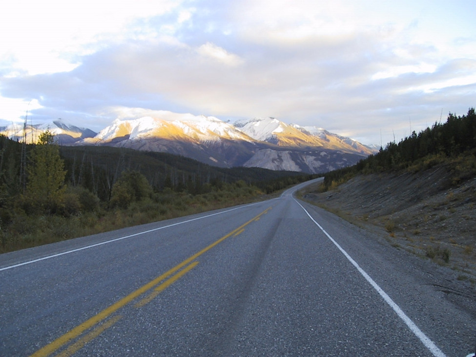
The Alaska Highway stretches 2,450 kilometers (km) across northern British Columbia (B.C.) and southern Yukon into Alaska. Public Services and Procurement Canada (PSPC) takes care of the 835 km of the highway that the Canadian government owns.
On this page
- Description of the highway
- Operation of the highway
- Impact on local and regional economy
- Relations with First Nations
- History of the highway
- Related links
Description of the highway
The Alaska Highway is the principal land transportation link to northern B.C., the Yukon and Alaska from the rest of Canada and the lower 48 states of the United States (U.S.).
Km 0 of the Alaska Highway is at the traffic circle at Dawson Creek, B.C. The PSPC section starts at km 133 and ends at km 968, where the border to the Yukon begins.
Almost 80% (1,900 km) of the highway is in Canada:
- the Government of B.C. is responsible for the first section (km 0 to km 133)
- the Government of Canada is responsible for the section between km 133, north of Fort St. John in B.C., and km 968, at the B.C. and Yukon border
- the Government of Yukon is responsible for the section between km 968 and km 1,874
Operation of the highway
Through our work programs, we’re taking care of the highway in these ways:
- seeking opportunities to improve highway connections and the level of service for northerners
- ensuring the safe and continued operation of the Alaska Highway to support current and future projected traffic levels
- ensuring decommissioned road surfaces are properly and safely deconstructed
- cleaning up contaminated and abandoned sites (pre-1980s)
- improving intersections to reduce vehicle incidents
These programs also cover:
- 24 bridges
- 34 bridge-culverts
- 2,130 small culverts
- 10 maintenance yards
- 10 salt sheds
- numerous pits and quarries
Impact on local and regional economy
Our section of the Alaska Highway is vital to economic activity in northeastern B.C., the Yukon and northern Canada. It is a key route for travellers, providing access to remote regions and northern tourist destinations.
Relations with First Nations
Local First Nations have worked on and operate businesses associated with the highway. In recent years, we have strengthened ties with local First Nations, with many projects now including Indigenous Benefit Plans. We continue working with local First Nations to grow highway-related economic opportunities.
History of the highway
The U.S. Army Corps of Engineers built the Alaska Highway in response to the bombing of Pearl Harbour. It was built to provide land access to Alaska from the lower 48 states during the Second World War. Local First Nations played a vital role during the construction of the highway, acting as guides through this difficult and remote territory.
- 1942: Construction began on the Alaska Highway
- the construction of the Alaska Highway was considered the most expensive project of the Second World War, costing approximately $185 million at the time
- it took around 11,000 soldiers and engineers, about 16,000 civilians and 7,000 pieces of equipment to build the highway
- the original pioneer road was completed in 1942, taking just 9 months to connect Dawson Creek, B.C., to Delta Junction, Alaska
- 1943: The permanent location of the Alaska Highway was completed in 1943
- 1946: After the Second World War, the U.S. Army transferred responsibility for the portion of the highway residing in Canada to National Defence
- 1948: The opening of the Alaska Highway to civilian non-military use officially started
- 1961: Responsibility for the section of the highway from km 0 (Dawson Creek) to km 133 (north of Fort St. John) was transferred to the Province of B.C.
- 1964: Responsibility for the remaining highway infrastructure and operations was transferred to PSPC
- April 1, 1992: The Government of Yukon assumed responsibility for the Yukon portion of the highway
- 2022: The Alaska Highway turned 80