
Timiskaming Dam Complex
Learn more about the Timiskaming Dam Complex.
On this page
- About the dams
- Water management on the Ottawa River basin
- Description of the dams
- History of the dams
- Related links
About the dams
The Timiskaming Dam Complex is 65 kilometres northeast of North Bay, Ontario. Located on either side of Long Sault Island on the Ottawa River, the complex comprises 2 structurally independent dams:
- the Ontario dam
- the Quebec dam
The Timiskaming dams:
- control the water level in Lake Timiskaming upstream and the flow of the Ottawa River downstream
- contain the last major reservoir on the Ottawa River upstream of the St. Lawrence River at Montréal
- provide water storage for hydroelectric generation downstream
- are an important interprovincial crossing for motorists, cyclists and pedestrians
- house a natural gas pipeline
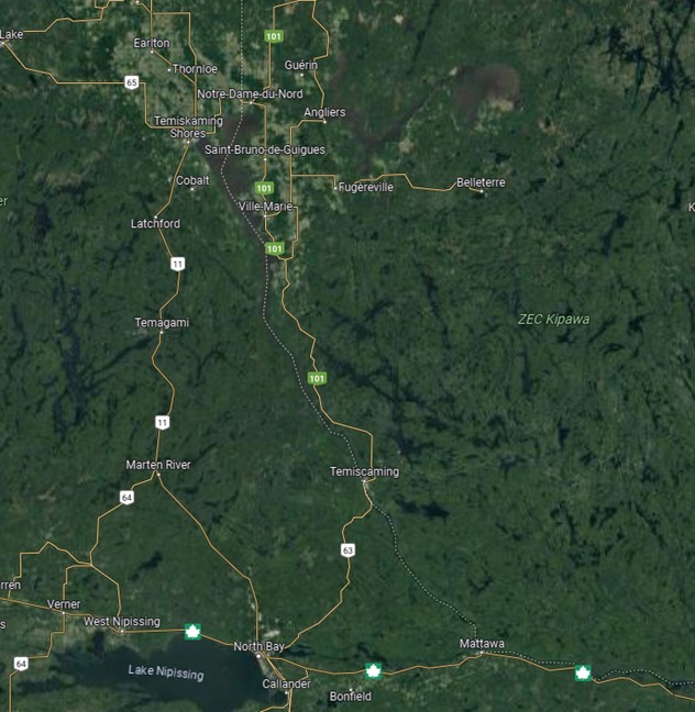
A map of the Timiskaming Dam Complex. [select the image to enlarge it]

The Quebec dam of the Timiskaming Dam Complex (from left to right: the Quebec dam, Long Sault Island and the Ontario dam. [select the image to enlarge it])
Water management on the Ottawa River basin
Refer to the Ottawa River regulation planning board for more information on water management on the Ottawa River basin, including:
- general information on Lake Timiskaming and the Ottawa River basin
- information on the integrated management of the Ottawa River
- the latest bulletins on watershed conditions
- current and historical water levels of both reservoirs and monitored areas along the Ottawa River
Description of the dams
Both dams are constructed of reinforced concrete and use wooden stoplogs to control the flow. Each dam includes multiple openings that are operated to regulate water level and flow. The Ontario dam has 16 openings and the Quebec dam has 10 openings.
The Quebec dam’s traffic deck is timber while the Ontario dam’s traffic deck is concrete, overlaid with asphalt. The operations decks are concrete.

Timiskaming Dam Complex (from left to right: the Quebec dam, Long Sault Island and the Ontario dam. [Select the image to enlarge])
History of the dams
- 1909 to 1913: The complex was originally built in the context of the Georgian Bay Ship Canal and to augment summer flows and levels on the Ottawa River from Mattawa to Montréal to allow commercial navigation
- 1930: The Quebec dam was rebuilt due to a foundation failure and is now nearing the end of its service life and needs to be replaced
- 2014 to 2017: The Ontario dam was replaced as it was at the end of its service life